An Example of Using Restful-Grids
Within this example, we show the different API entry points, and how to use that data within your plotting workflow!
Imports
import requests
from IPython.display import HTML
import hvplot.pandas
import holoviews as hv
import pandas as pd
hv.extension("bokeh")


Access our Dataset
Our dataset is hosted on AWS, accessible from http://3.226.253.65
We can access our datasets using /datasets/gfs or /datasets/ww3 for the Global Forecast System (GFS) or Wave Watch 3 (WW3) datasets respectively
response = requests.get("http://3.226.253.65/datasets/ww3/")
Since our response is html, we need the HTML wrapper to show the xarray dataset!
HTML(response.text)
<xarray.Dataset>
Dimensions:                  (longitude: 381, latitude: 351, time: 73,
                              forecast_reference_time: 1)
Coordinates:
  * longitude                (longitude) float32 -93.0 -92.9 ... -55.1 -55.0
  * latitude                 (latitude) float32 20.0 20.1 20.2 ... 54.9 55.0
  * time                     (time) datetime64[ns] 2022-04-11T12:00:00 ... 20...
  * forecast_reference_time  (forecast_reference_time) datetime64[ns] 2022-04...
Data variables: (12/21)
    hs                       (forecast_reference_time, time, latitude, longitude) float32 ...
    t02                      (forecast_reference_time, time, latitude, longitude) float32 ...
    t0m1                     (forecast_reference_time, time, latitude, longitude) float32 ...
    t01                      (forecast_reference_time, time, latitude, longitude) float32 ...
    fp                       (forecast_reference_time, time, latitude, longitude) float32 ...
    dir                      (forecast_reference_time, time, latitude, longitude) float32 ...
    ...                       ...
    pdir2                    (forecast_reference_time, time, latitude, longitude) float32 ...
    pws0                     (forecast_reference_time, time, latitude, longitude) float32 ...
    pws1                     (forecast_reference_time, time, latitude, longitude) float32 ...
    pws2                     (forecast_reference_time, time, latitude, longitude) float32 ...
    tws                      (forecast_reference_time, time, latitude, longitude) float32 ...
    pnr                      (forecast_reference_time, time, latitude, longitude) float32 ...
Attributes: (12/17)
    WAVEWATCH_III_version_number:     5.16
    WAVEWATCH_III_switches:           F90 SHRD NOGRB NOPA LRB4 NC4 TRKNC PR3 ...
    SIN4 namelist parameter BETAMAX:  1.65
    product_name:                     ww3.20220411.nc
    area:                             NW Atlantic  6 arc min grd2
    latitude_resolution:              0.1000000
    ...                               ...
    minimum_altitude:                 -12000 m
    maximum_altitude:                 9000 m
    altitude_resolution:              n/a
    start_date:                       2022-04-11 12:00:00
    stop_date:                        2022-04-11 23:00:00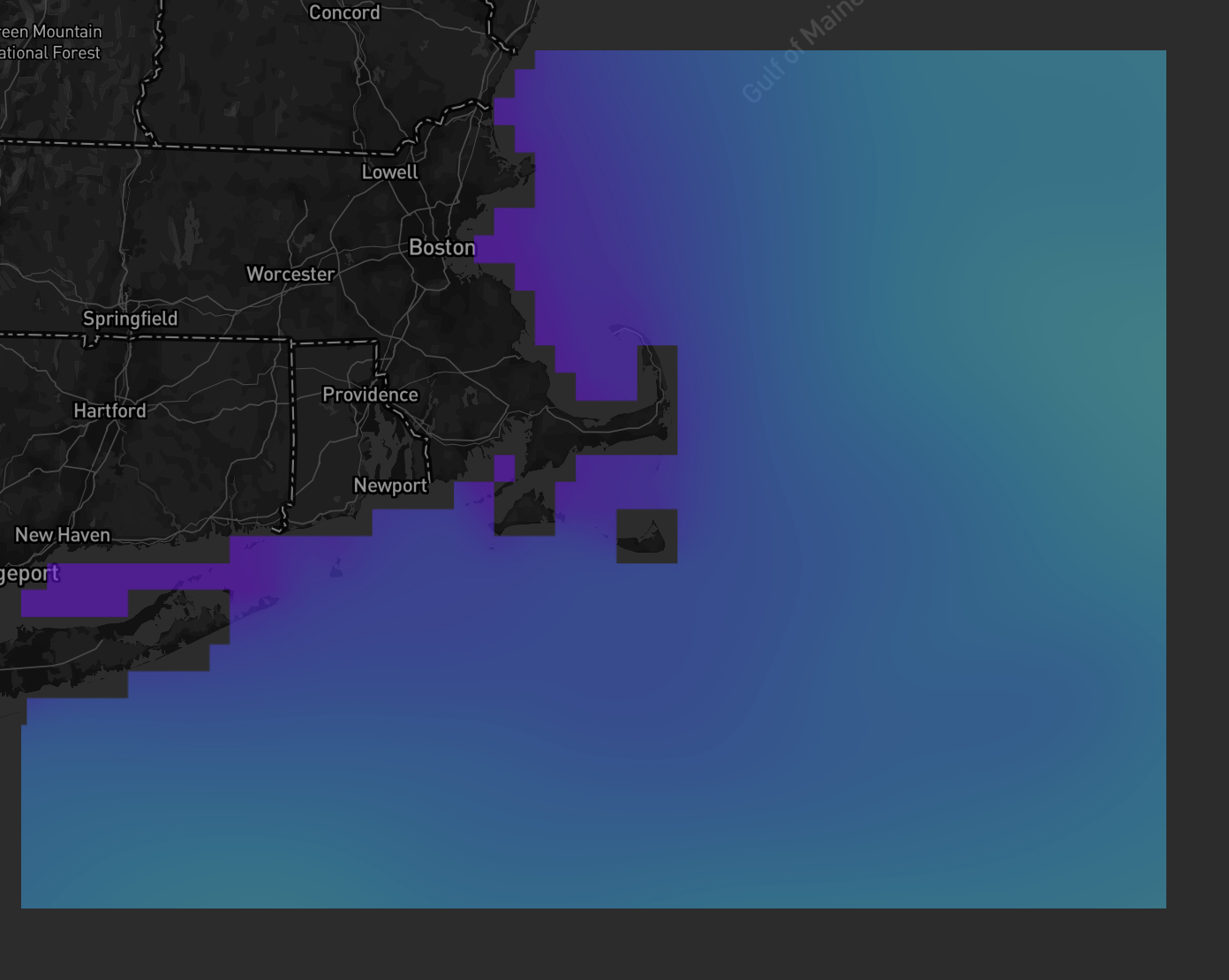
_xpublish_id: ww3Use the EDR Point API
We can query for a single point using the /edr/position API
point_response_ww3 = requests.get("http://3.226.253.65/datasets/ww3/edr/position?coords=POINT(-70%2043.72)¶meter-name=hs,dir")
Once we get our response, we can access the json
point_json_ww3 = point_response_ww3.json()
Our datasets are nested within this dictionary, accessible using the following syntax
# Grab our hs data field
hs_field = point_json_ww3["ranges"]["hs"]["values"]

# Grab our time field for the hs field
hs_time_field = point_json_ww3["domain"]["axes"]["t"]["values"]
Convert the Data to a Pandas Dataframe
We assign variable names for each of these, and pass into our pandas dataframe object
df = pd.DataFrame({"time":time_field,
                   "hs":hs_field})
df
| time | hs | |
|---|---|---|
| 0 | 2022-04-11T12:00:00 | 0.305014 |
| 1 | 2022-04-11T12:59:59 | 0.300873 |
| 2 | 2022-04-11T14:00:00 | 0.235915 |
| 3 | 2022-04-11T15:00:00 | 0.157094 |
| 4 | 2022-04-11T15:59:59 | 0.101346 |
| ... | ... | ... |
| 68 | 2022-04-14T08:00:00 | 0.451038 |
| 69 | 2022-04-14T09:00:00 | 0.493556 |
| 70 | 2022-04-14T09:59:59 | 0.533382 |
| 71 | 2022-04-14T11:00:00 | 0.569655 |
| 72 | 2022-04-14T12:00:00 | 0.598845 |
73 rows × 2 columns
Before we plot, let's convert our string datetime to a datetime object
df["time"] = pd.to_datetime(df.time)
Plot our Visualization
Now that we have our time parsed, and the data, we can use hvplot to visualize our dataset
df.hvplot.line(x='time',
               label='significant_wave_height \n at -70 deg lon, 43.72 deg lat')